
Okay, I hiked another mountain yesterday!
As I was hiking, I realized why I never really had mountain climbing on my list of to-do things in life – I’m really not a mountain-climbing person. I’m from Houston, Texas, where, in case you didn’t know, everything is flat. Literally, we have overpasses (for vehicles) on the highways and ditches along roads. That as much variation to the land gradient as we get. There’s even a phrase for it: In Houston, an uphill climb is only a figure of speech. I found that in the HIWI: Houston – It’s Worth It coffee-table book several years ago. I always remembered it, because it was so beautifully and comically true. Keep this fact in mind as you read onward here.
Our school had their fancy baseball game, where the entire school goes and cheers (mostly the same cheers as the other school) for the team. We won the game, and it ended around noon. The best part, though, was that we didn’t have to go back to school afterward. Even the teachers were free to go home after the game. So, I decided ahead of time that I would go hike the nearby mountain after the game. Of course, I didn’t know that we officially had the day off after the game, but I planned to take my last few vacation hours if necessary. Fortunately, that was not necessary. So, yay!
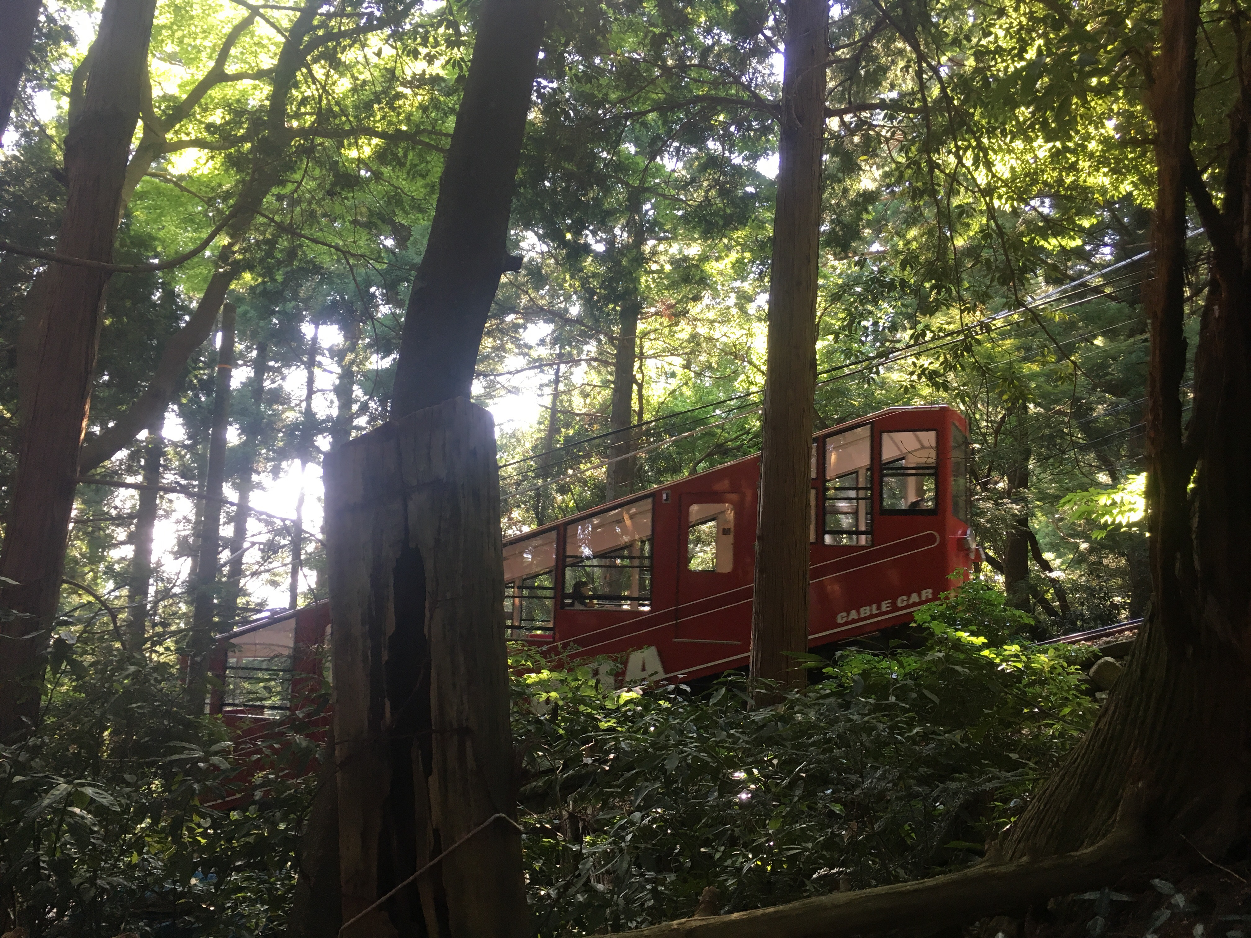
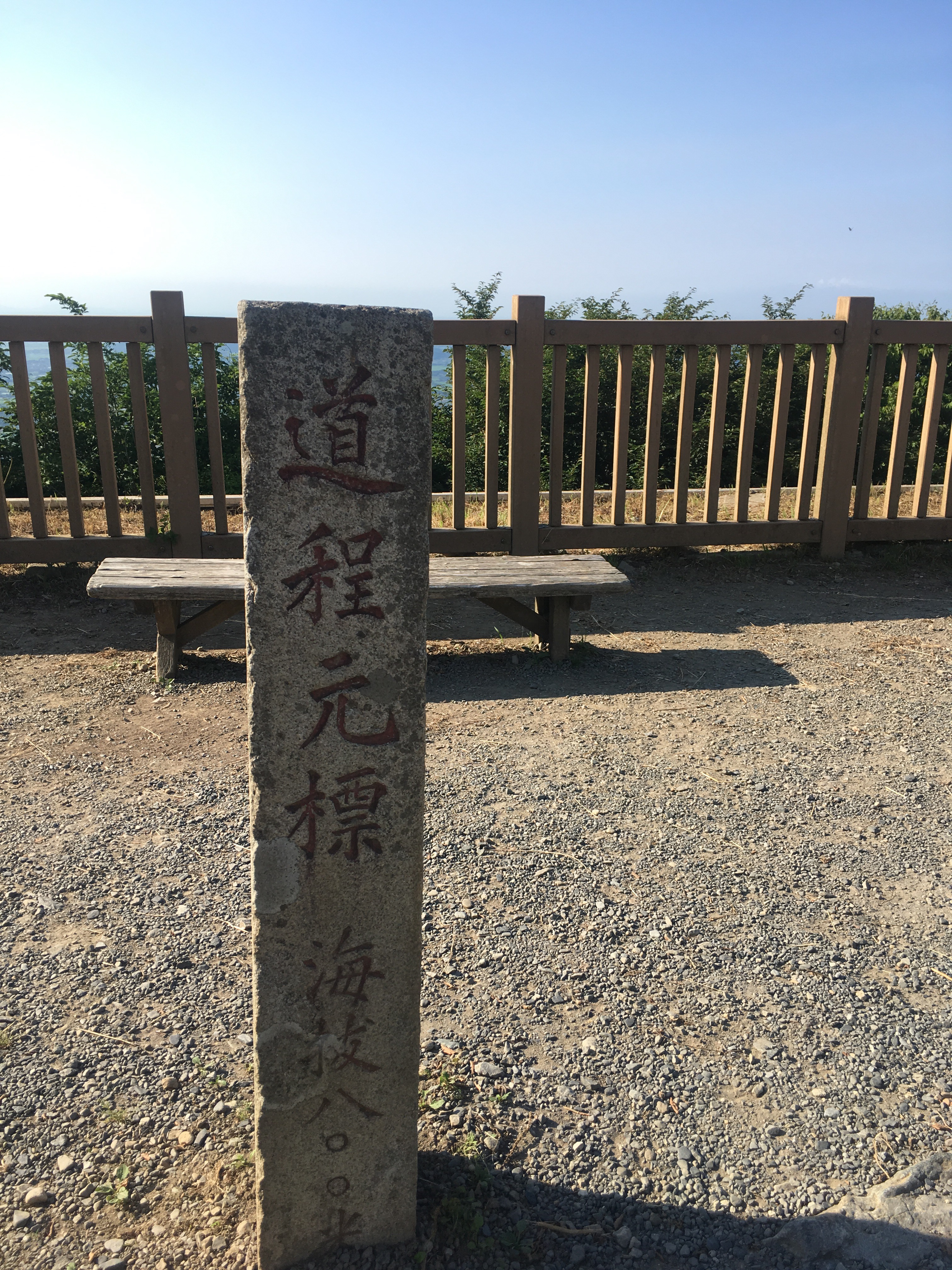
As I told kids what I was off to do, they were amazed, concerned, excited, surprised, etc. REALLY, Hannah-Sensei?! Yes, really. After a sandwich snack from a konbini (convenient store), I got some help from a few students and found the right bus to get me to the mountain. It was about 45 minutes to the middle of nowhere without shade, where I had to wait 25 minutes to take the second bus up to the base of the mountain. There’s a shrine, and it’s really pretty and nice, and it took me forever to find the path to hike up the mountain. Eventually, I found a sign by the cable car entry, stating that the hiking trail began in that direction. Turns out, the trail begins right next to the cable car entrance.
The trail was Miyukigahara Course (御幸ヶ原コース), and the mountain was Mount Tsukuba (筑波山). The estimated trail time is 90 minutes upward. With loads of pausing for photos, feeling lost, and sheee-it declarations, I made it in 77 minutes. I was truly shocked at how quickly I had done it.

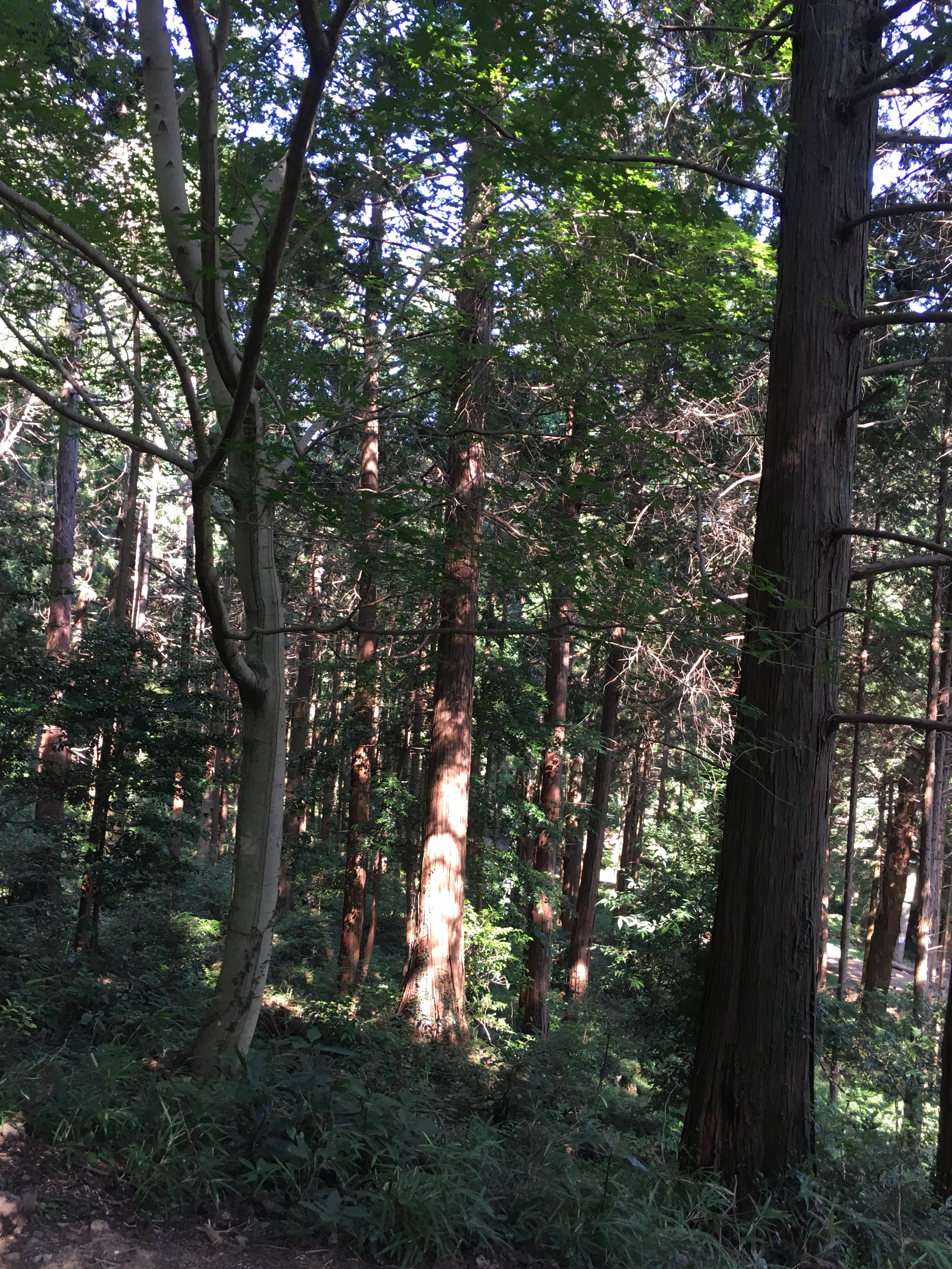
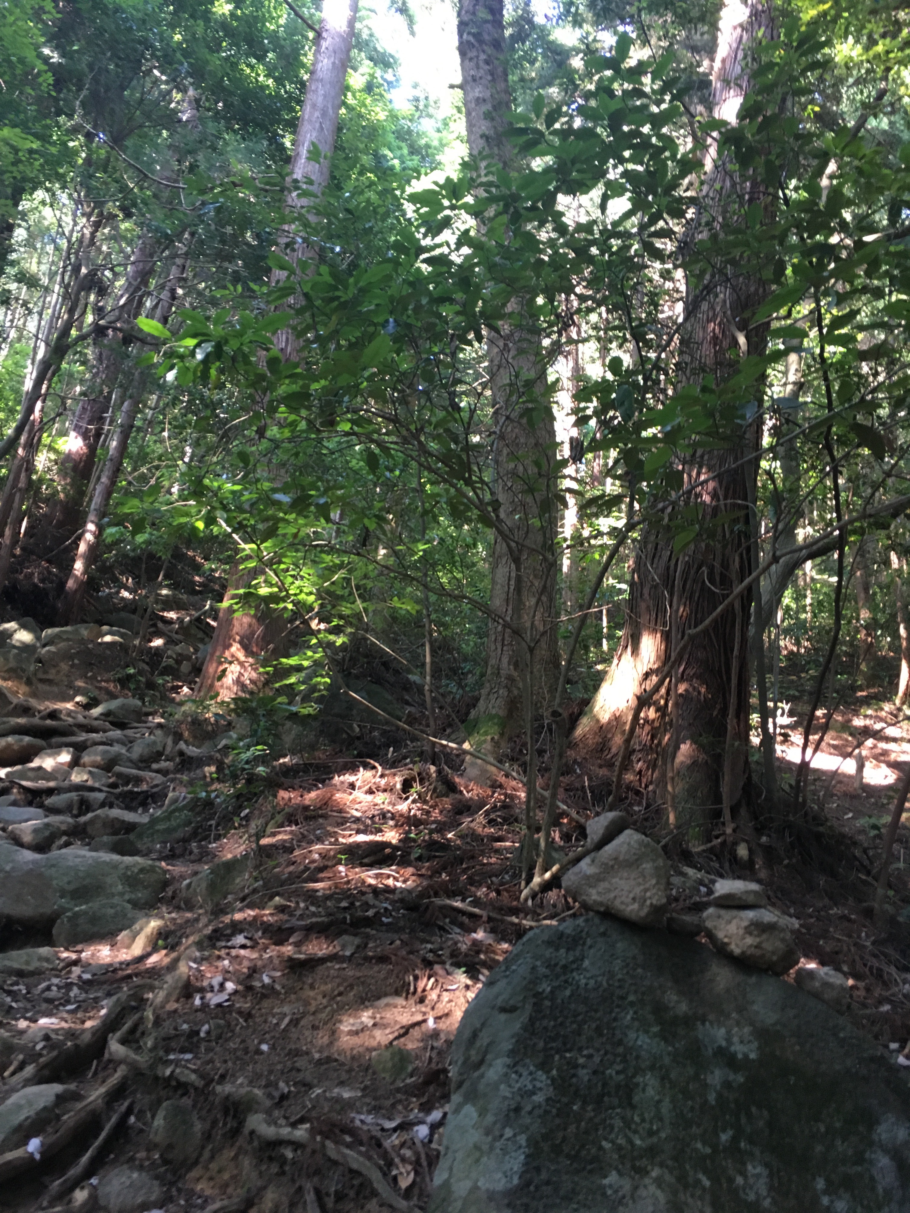
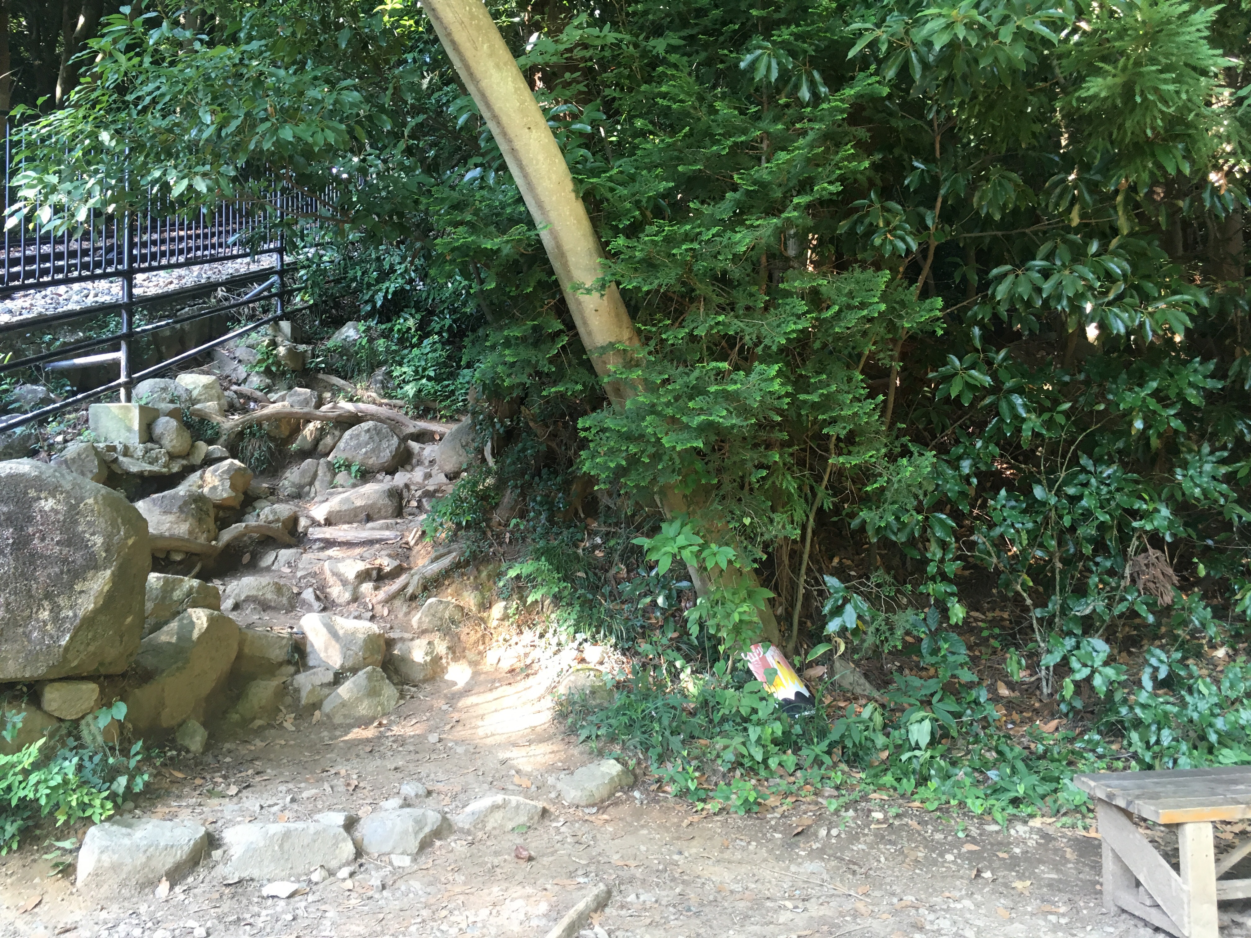
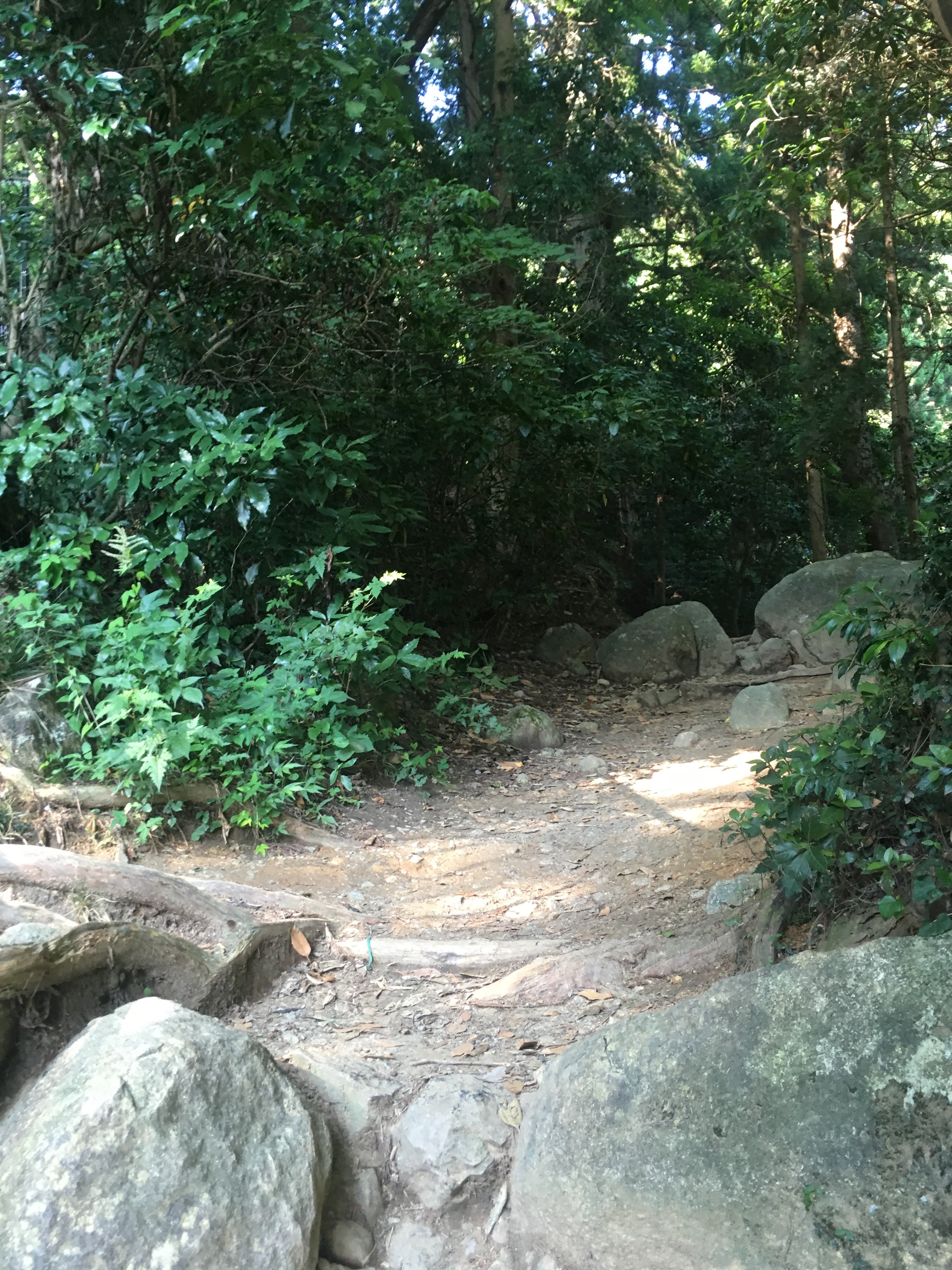
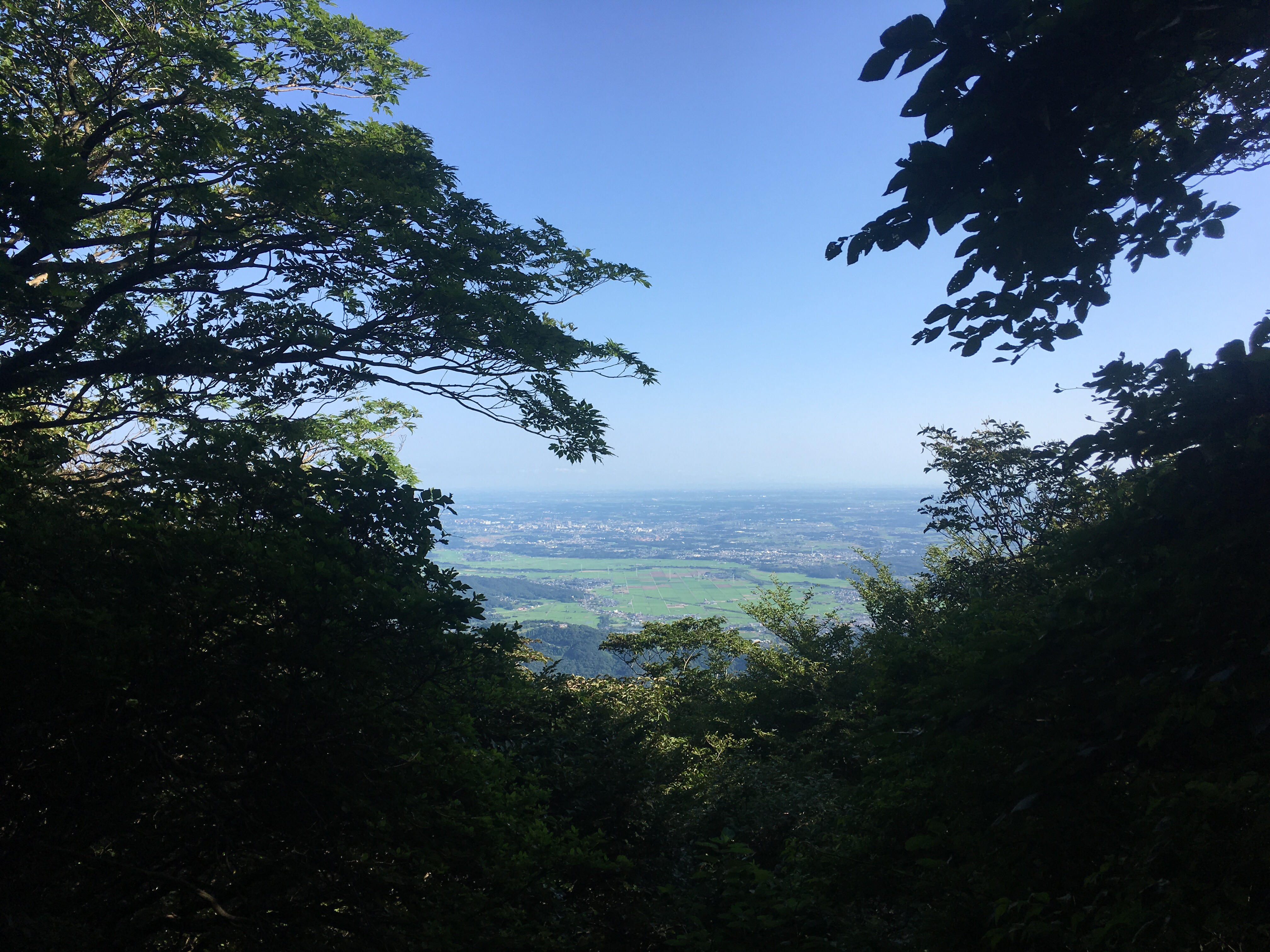
The trail began with some confusion, as it branched off toward the cable cars twice, but going straight got me in the right direction. The terrain was spidery tree roots and rocks everywhere, and beautiful, green trees all round. I was delighted.
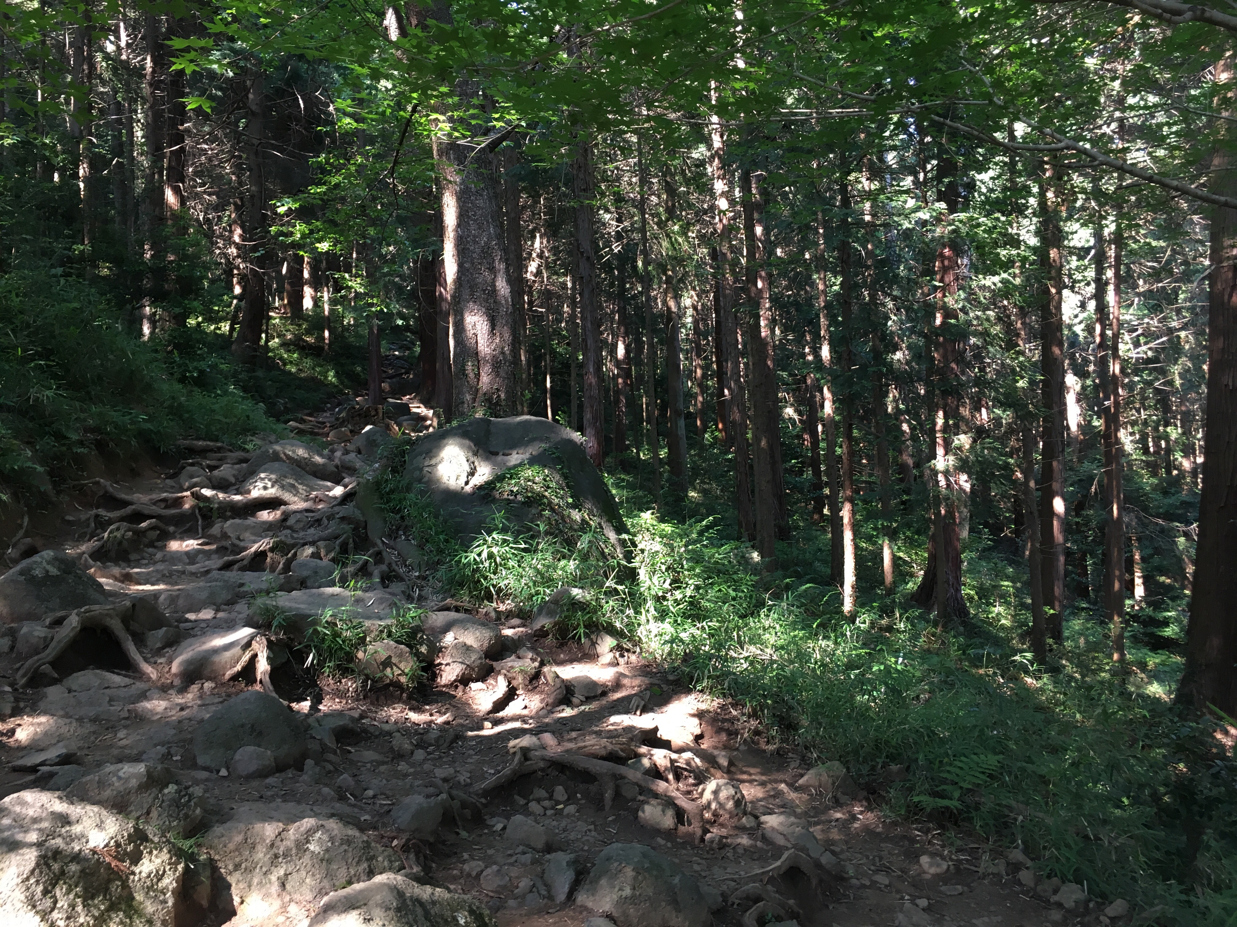
Eventually, the gradient increased, and the easy trail became not-so-easy. Then there were stairs. I dislike stairs in Japan. They drive my knees nuts, because they are in no way aligned to the size of my stride.
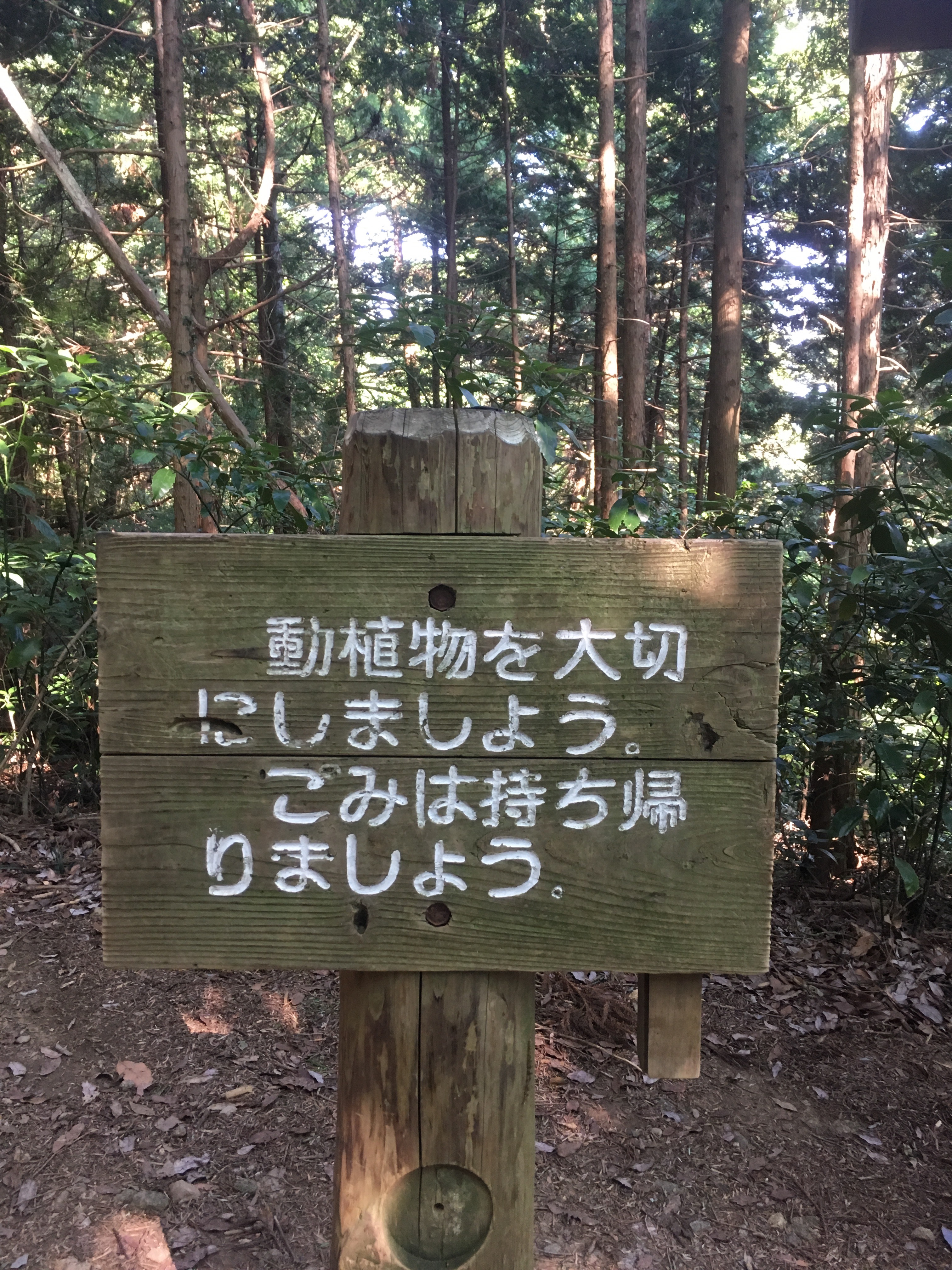
After what felt like far too much effort on a long series of stairs going what felt like straight upward (I couldn’t even take a good photo of them, without tilting the camera way upward or downward, they were so steep.), I finally reached a pause point in the trail. At first, I thought the first sign I was seeing after almost half an hour might be informative. Instead, it told me to take my trash home… so Japan…
Now, even though I am from Houston, and going upward is the thing at which I am kind of the worst, I still enjoyed the trek. For one thing, it was cool seeing all the different cairn-like rock piles. Some were really complex,
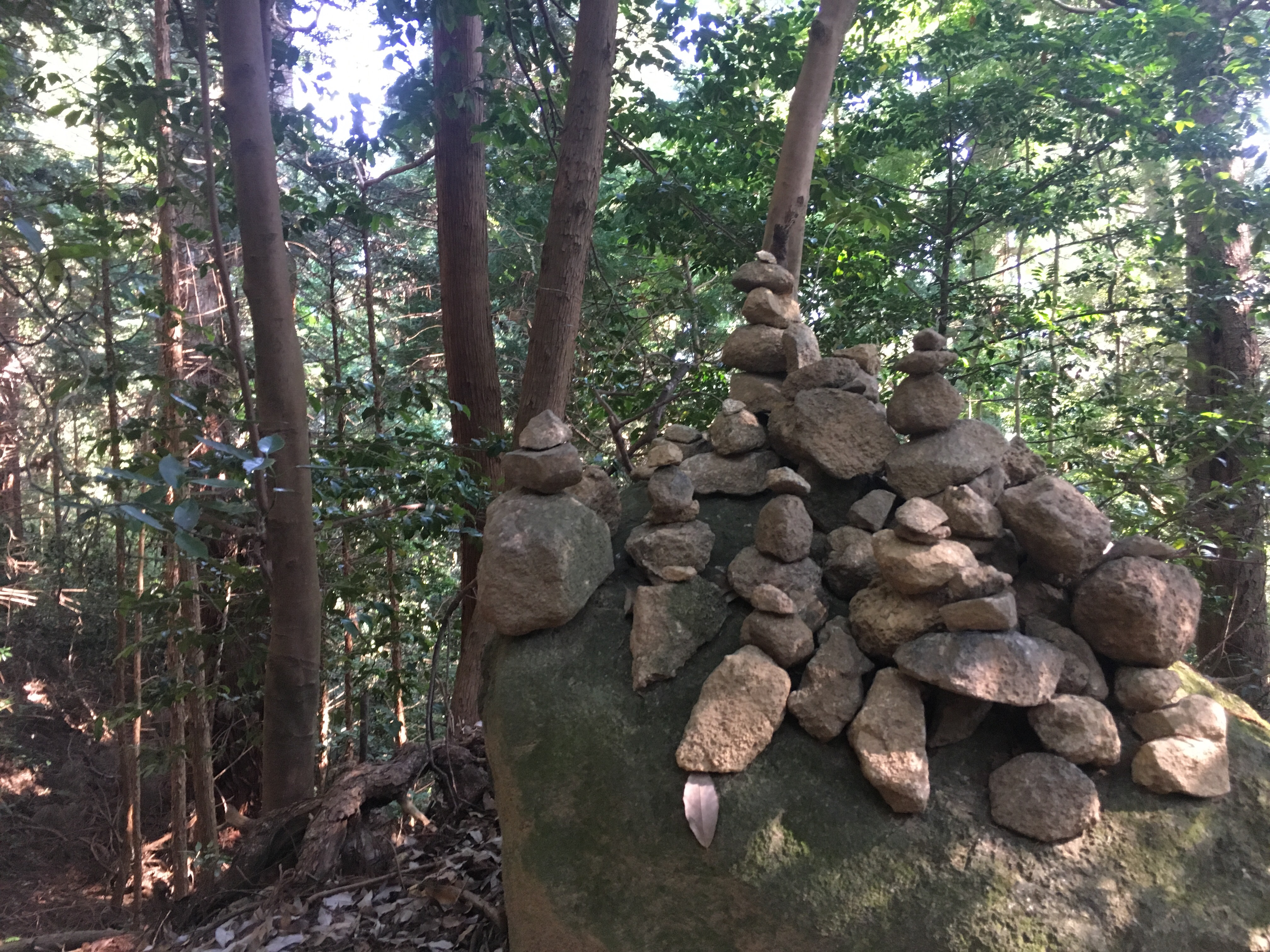
while others were incredibly simple.
Suffice to say, I enjoyed them all. …as I was practically gasping for air the entire time, of course.
Around halfway, I came across the cable cars. I heard the cables moving, and so thought the car was approaching. After at least a five-minute wait, the car finally appeared (both did, actually), and I got a little photo of it, and hurried on my way.
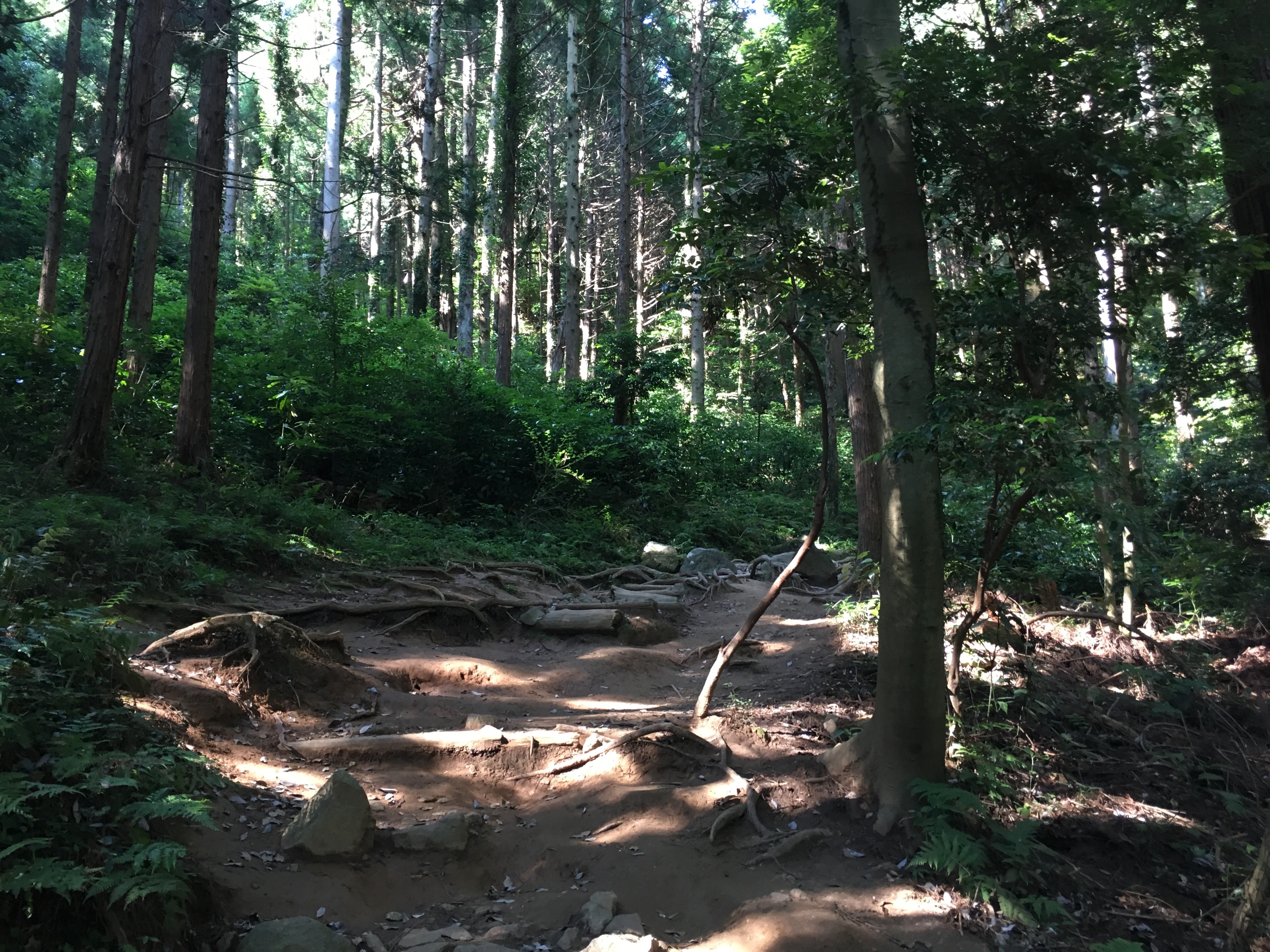
As I have discovered to be the case with roads here in Japan, so was this trail: What appears to be a dead end is, in fact, not a dead end. I actually struggled very briefly to find the path at this point, as it was hidden behind the trees, and the area opened up so nicely to the right.
The first half of the trail is rightly difficult. It’ll turn around anyone unprepared for the trek within the first twenty minutes, for sure. I kind of hated how difficult it was (again, remember the Houston factor), and had a sort of running commentary of ‘Uugghh,’ going on in my head, but it was alright. After the halfway point, things got mostly easier.
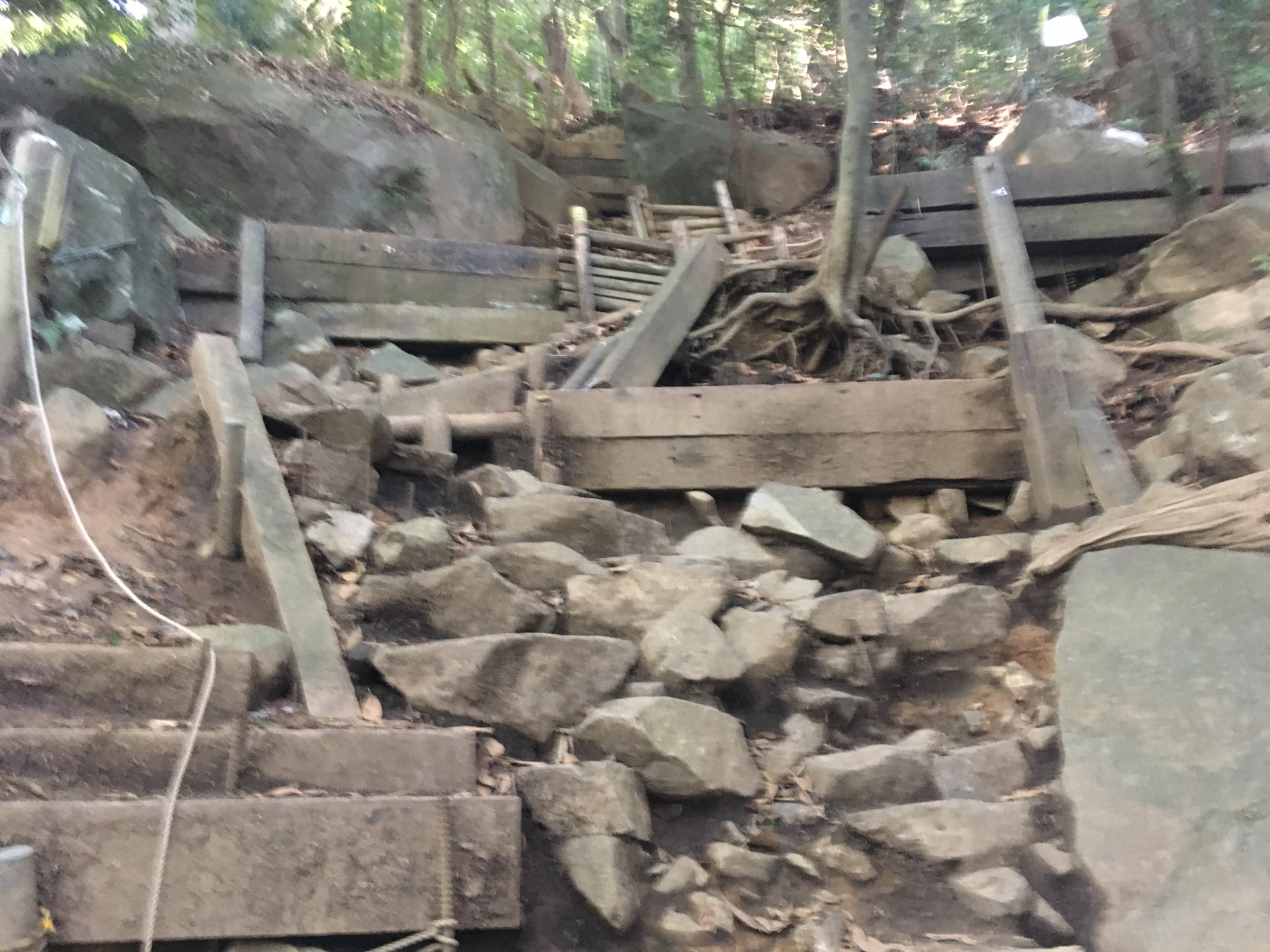
Until, of course, I reached a totally sketchy point in the trail, where the guard ropes and steps and all seem to be falling to bits amid the rocks and trees, like giants scrambled through a couple decades ago, and no one has made it back through the area since. But, I picked my way through the rubble-like terrain, and found myself wondering suddenly, as the trail was leading distinctly downward, if I hadn’t crossed onto another path, and were actually heading down to the base of the mountain again.
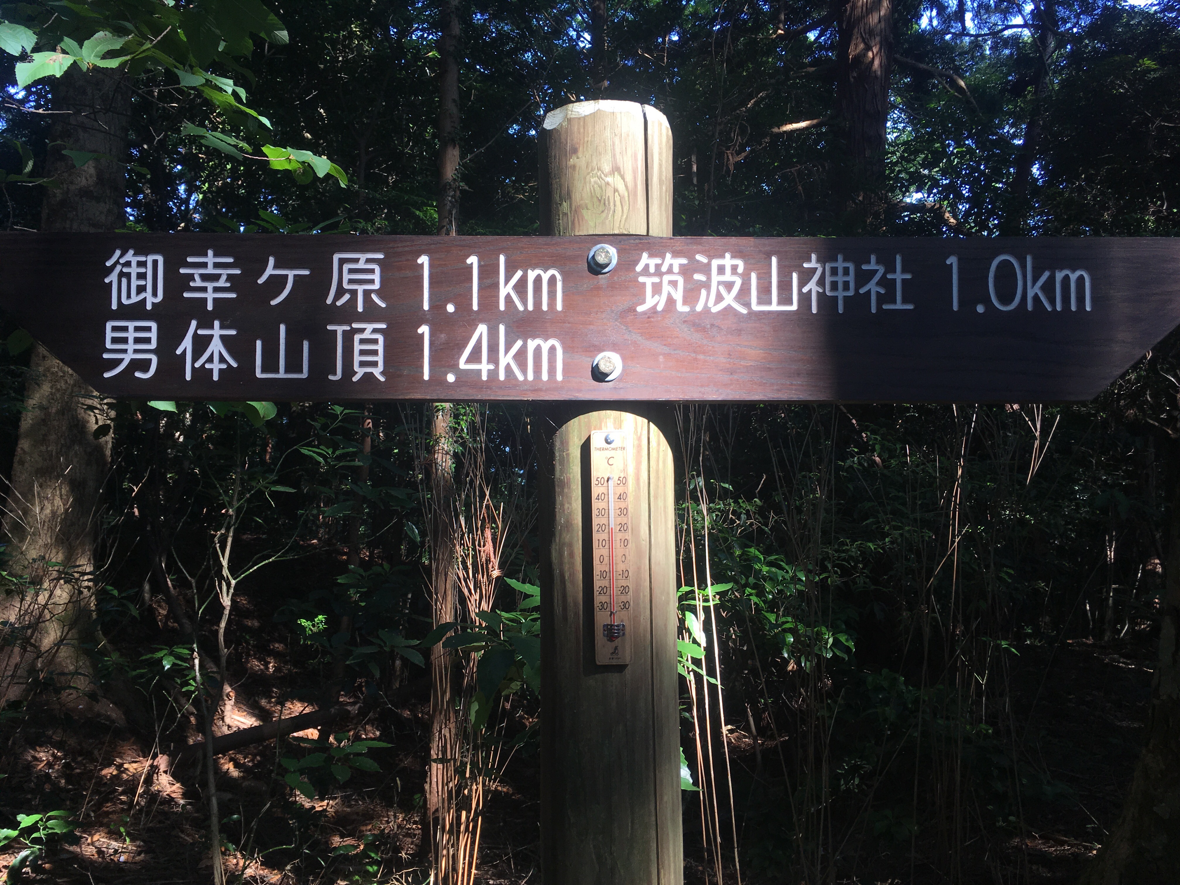
Eventually, a sign eased my concerns… somewhat. Then the trail kept going downward. I went Back to the sign, checking which direction the paths supposedly led, comparing it to a photo I’d taken of a similar sign farther down the mountain. I even called a friend to check that the path did this – I So did not want to be doing double hiking here, and I was concerned about my timing (I had no idea how long it had been, as I was embarrassed to check, find I had been going super slowly, and risk losing all morale [or most of it, anyway].).
I then reached a bit that didn’t even look like a trail, but rather a big pile of boulders.
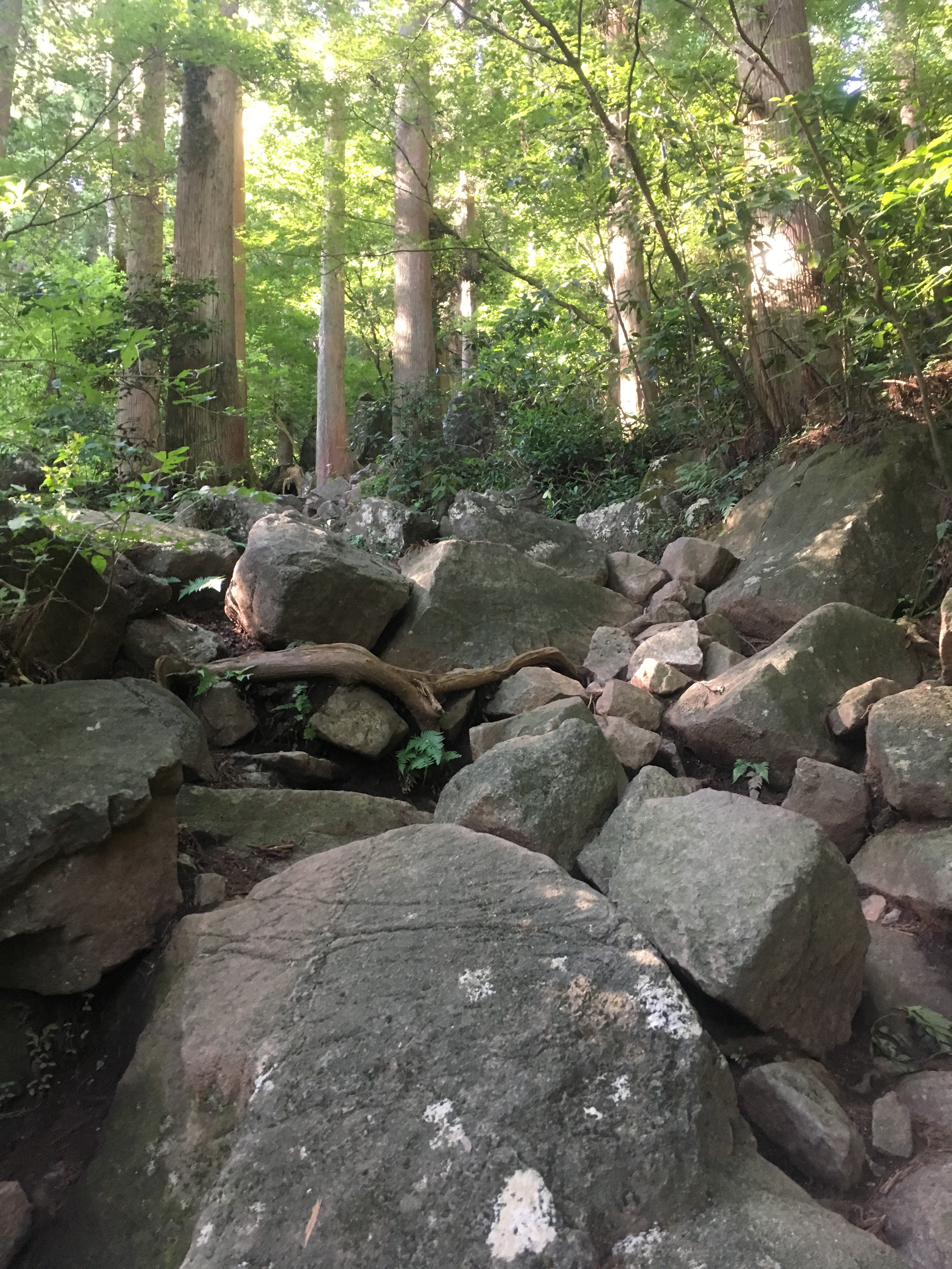
However, after climbing over the boulder pile, I came upon what I called the “Man Woman River”, which is really a pathetically-sized stream trickling down the side of the mountain.
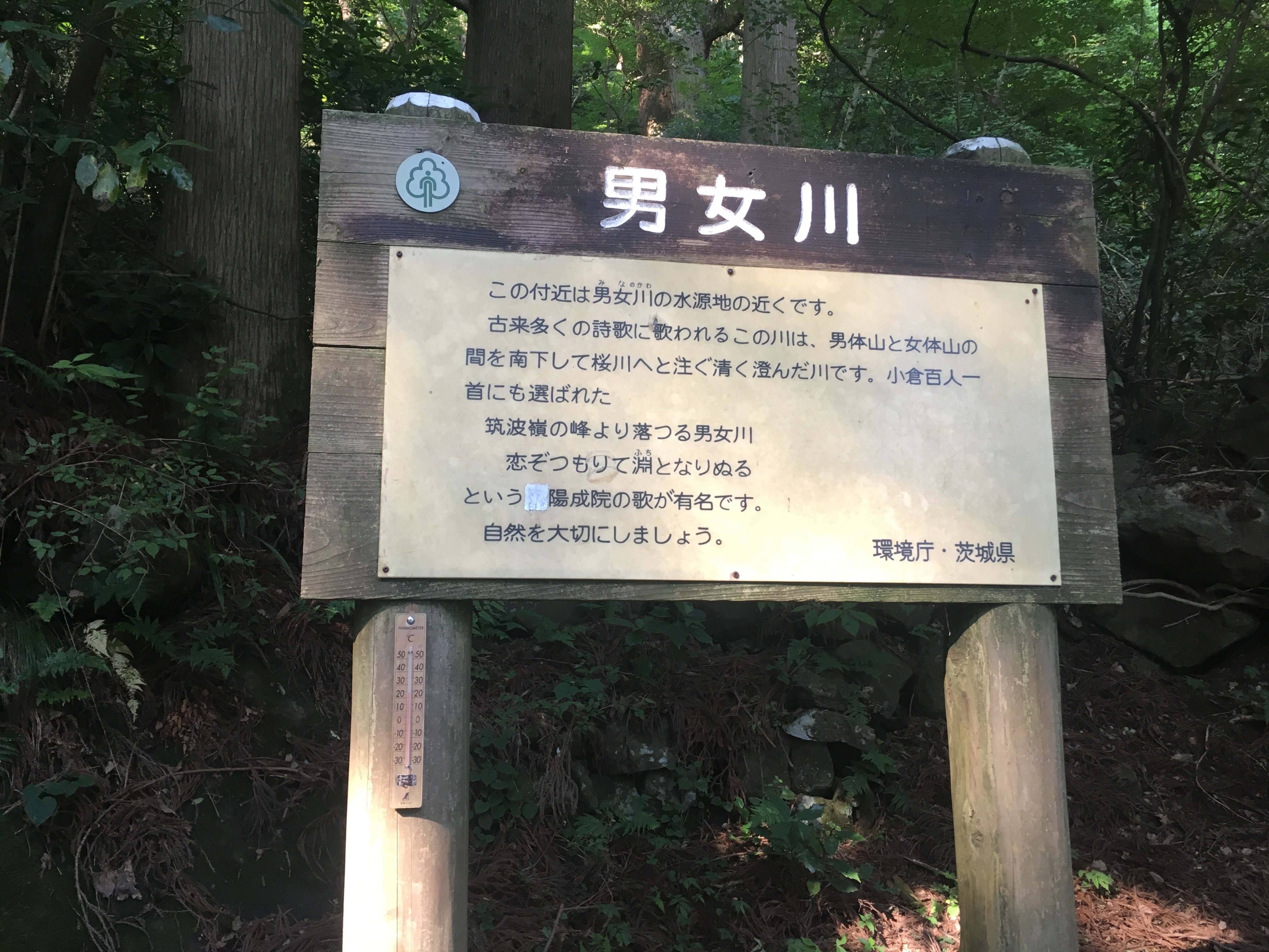
At the river, however, there was an actual sign indicating that I was, indeed, still on my trail, and had only 600m to go. A time and a half around a track. I knew instantly that it wouldn’t be so easy as that, though.
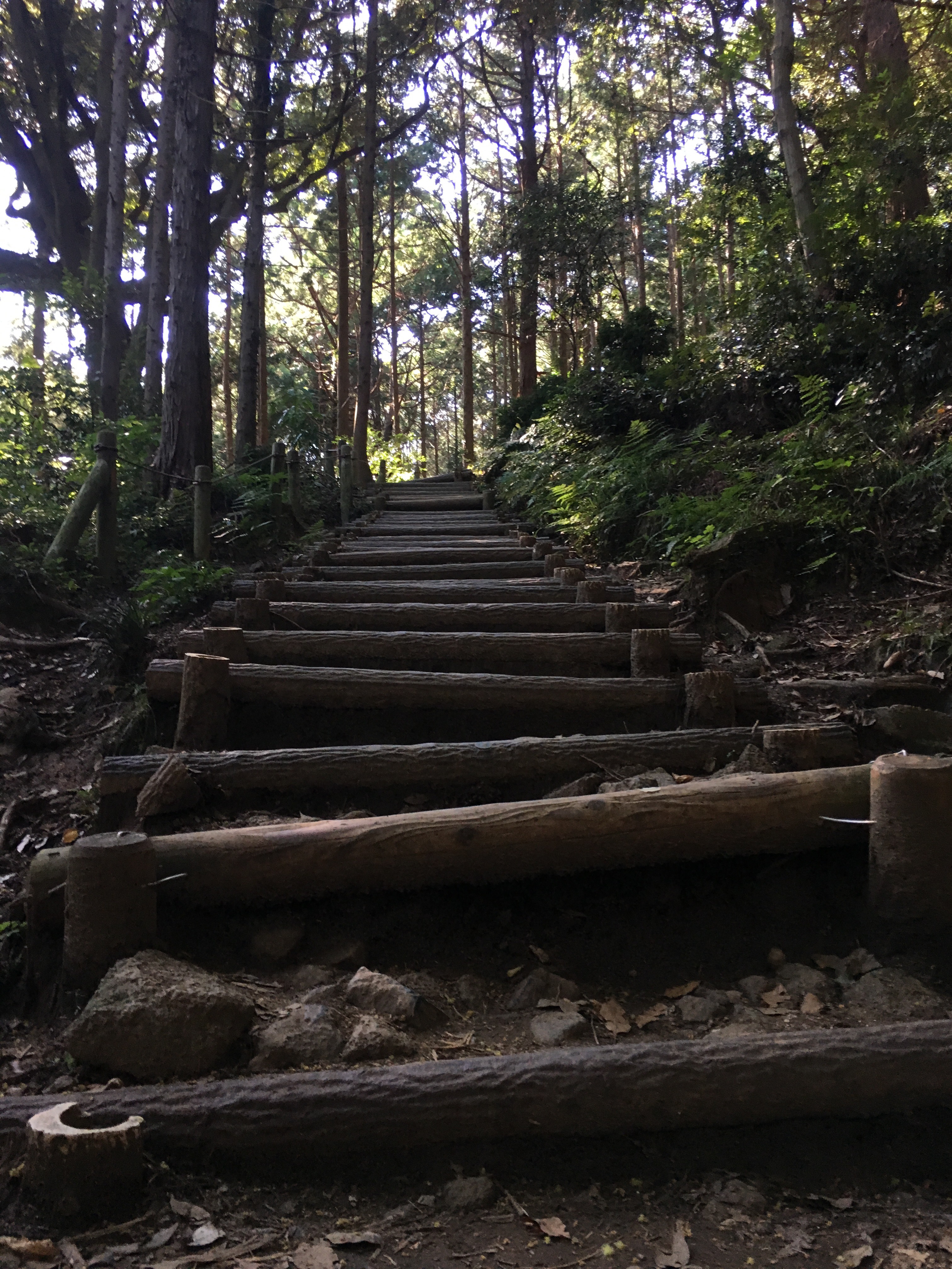
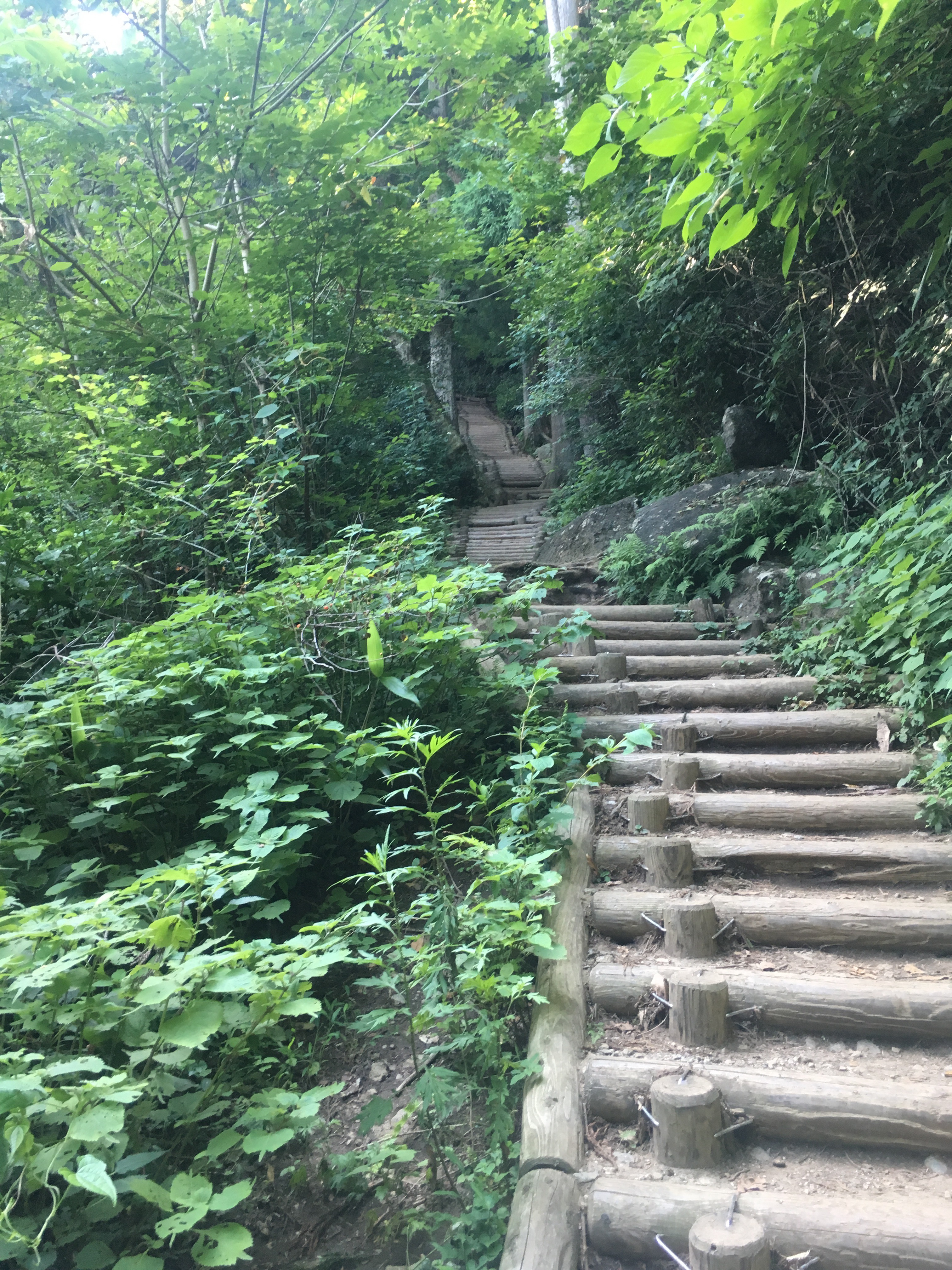
After what felt like about 500m, I came to the stairs. Honestly, if you ever do this, take the advice relating to fears of heights when up high somewhere, where you are told not to look down. For these stairs, don’t look up. They just keep going and going, and they curve and then keep going some more. And they’re tiny little steps, too, where you have to figure out if it feels better to take two or three at a time, and neither is quite right, so you try doing just one at a time, and it ends up even worse than the two or three.
I knew these steps were like the home stretch, but I was wary.
Sure enough, I rounded the final corner of trees after these cutesy, painful, annoying steps, and actually cursed aloud. This is actually the exact view of where I was spit out from the previous segment of the trail. Right in the middle of the rocks, with even more, higher up stairs over to the side.
This, I practically cried inside, has Got to be the final stretch… Please.

And, indeed, it was. At long last, I was at the end of the trail, and up on top of the mountain, on the little hump between the two peaks.
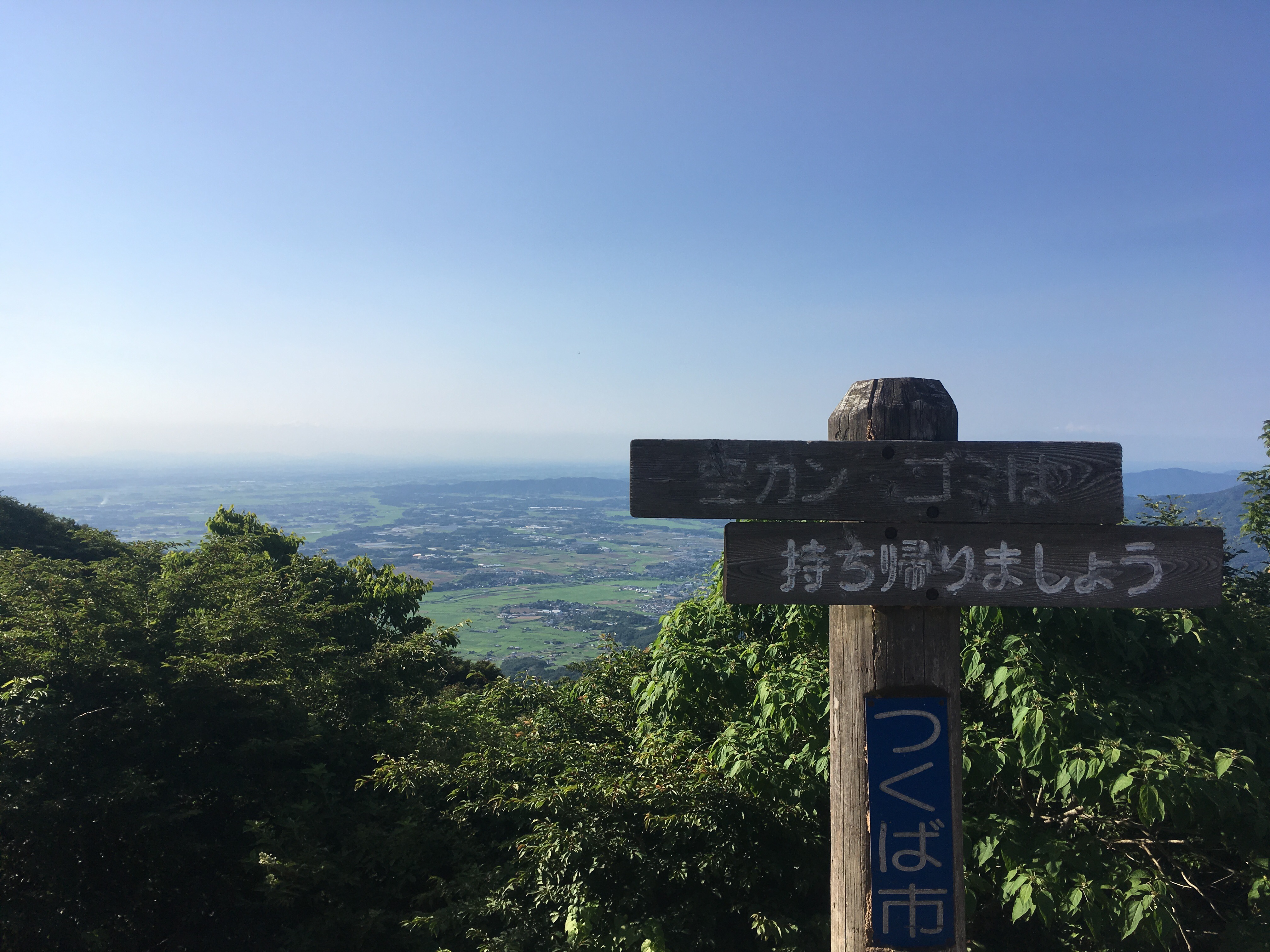
Tsukuba Mountain has two peaks on it, Nantai-San and Nyotai-San. Mt. Nantai is the one whose name in kanji equates to ‘Man Mountain’, and Mt. Nyotai is the ‘Lady Mountain’ in its kanji. I didn’t have much time before the last cable car down, so I picked the Lady Peak over the Man Peak. It was a quick and easy 600m up (as opposed to the miserable last 600m of the trail I’d just taken), and the view was quite nice. I enjoyed the space there, all on my own.
On the entire adventure up the mountain, I think I didn’t even pass ten people total. It was marvelous. Though not quiet – bugs are loud.
As I rode the cable car down the mountain at 5pm (the last car of the day), I began checking routes home. Get this: The next bus out of that area to get me home was Tuesday morning at 9:06am. Are you kidding me? Nope. Not at all.
So, I did some freaking out, even asked a local guy about how to get home, and he even passed concern to himself about whether there was still a bus running. He told me, however, that buses ran, and just to follow the road until I reached the bus stop. Suffice to say, there were no more buses running. Fortunately, I was already mentally prepared by the time I reached the bus stop.
I had been looking around on my Google Maps app (which I love!), and found a bus leaving from a ways away that could get me to somewhere useful. I then began my half-sprint descent to a nearby town’s bus station, slightly concerned about whether I would make it home that night. After half an hour of running on a road in the middle of the forest, which is clearly not meant for pedestrians, I climbed aboard my desired bus with two minutes to spare. I was too exhausted even really to appreciate my fortune in catching the bus. I promptly sloughed onto the back seat, out of the sun, and relaxed for the upcoming long ride, as soon as I informed my friends that I had made it on the bus, and didn’t need anyone to come way out of the way to get me.
And, just to make the day better for my health, I went directly to ballet class when I got back to my town. It was my last chance to go, and I hadn’t even known it – I’d just wanted to go to class, because I love the class. Apparently there’s no class next week. Even more good fortune. I had a blast in the class, and it was a really good way to send myself off from the group I’d come to love.
Hmm… this didn’t turn out at all as I had hoped. Perhaps, I’ll revisit it some time, when I actually feel like writing, as opposed to going home to sleep… or do anything but sit in this warm room at work, with a chair and desk that are too small for me… We’ll see.
Post-a-day 2017
